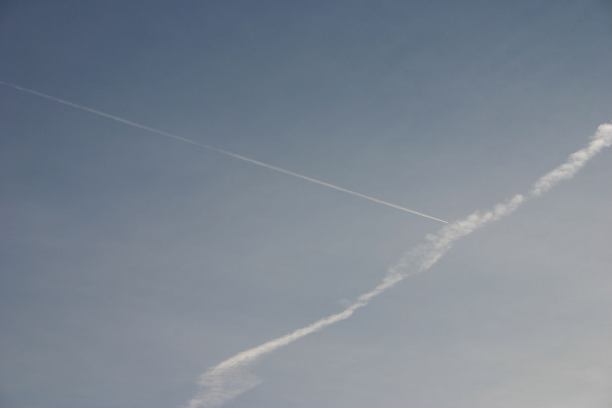
Aircraft Contrail Cirrus (Contrail)
Contrails are really man made clouds, for if aircraft were not flying in the upper atmosphere they would not be created. The Contrail is formed as it's name suggests from condensation, it is in fact a condensation trail (contrail). as the exhaust exits the aircraft engines the small amount of moisture within the exhaust condenses into water particles which then freeze in the cold upper air. The contrail will seem to follow the aircraft with one trail per engine but these soon combine into a sort of elongated cirrocumulus. The contrail spreads in the slipstream of the aircraft or the upper winds, persisting or disappearing after a sort time this will depend on the relative humidity and height of the aircraft.

Altocumulus (Ac)
Altocumulus Latin:(High Mass) This cloud resembles Stratocumulus but at a higher level forming in patches and rolling form, sometimes with or without gaps. Altocumulus forms from decaying Cumulonimbus normally late in the day when the daytime convection ceases or Cumulus tops spread out. At times rain falls from Altocumulus and can evaporate before reaching the ground these streaks are known as Virga and are seen streaming from below the cloud base.

Altostratus (As)
Altostratus Latin:(High Blanket) A layer cloud forms greyish sheets or one sheet sometimes thin enough for the sun to show through. Altostratus is thicker than Cirrostratus and is composed of water droplets. Thick Altostratus can produce rain. It forms over a wide area ahead of a warm front or occlusion and can be a precursor to rain.
Cirrocumulus (Cc)
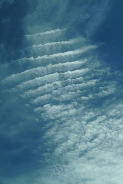
Cirrocumulus Latin:(Curl Mass) A high level equivalent to Stratocumulus or Altocumulus, This attractive cloud is much less common than either of the afore mentioned. It is formed as cells in line sometimes with blue sky between them. A common name used to describe Cirrocumulus is Mackerel Sky and is one example of the attractive patterns these clouds can create. Cirrocumulus is formed by wave motion/turbulence throughout a moister layer in high atmospheric winds which are moving in different directions. At the top and bottom of the layers these produce upward and downward currents which are then become visible when the clouds form.
Cirrostratus (Cs)
Cirrostratus Latin:(Curl Layer) A high ice cloud that takes the form of a sheet through which the Sun or Moon maybe visible. it is created by the slow upward movement of air and condensation or sublimation high in the troposphere. It is often an early indication of rain well ahead of weather fronts. Appearing as a thin veil or fibrous (lined) cloud over the whole sky.

Cirrus(Ci)
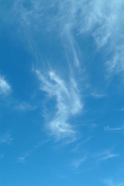
Cirrus Latin:(Curl) This is a white wispy hair like cloud it forms at high levels into patches and narrow bands. Forming in the troposphere but with no associated fronts it maybe traced back to some long decayed tops of Cumulonimbus or decayed fronts. It can even be formed from aircraft contrails seeding moist or very cold air.
Cumulonimbus (Cb)
Cumulonimbus latin:(Mass Rain cloud) These are the deepest and most vigorous of the convection clouds. They not only bring rain but can develop into thunderstorms with hail and even tornados. The strong convection up currents can push Cumulonimbus tops into the lower stratosphere.
Cumulus (Cu)
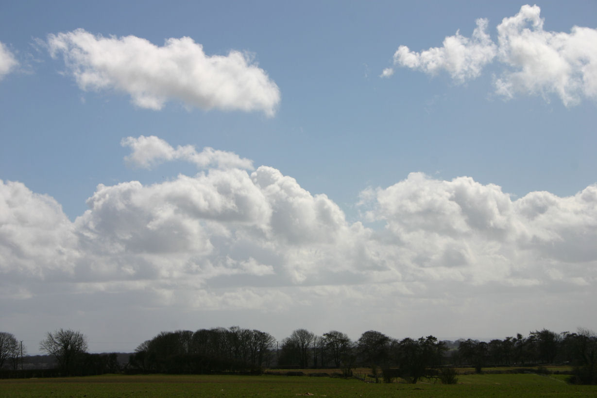
Cumulus Latin:(Mass) probably the most common of clouds and on sunny days when the land is heated by the sun these clouds form. With all their bases at the same level they create cloud streets, the up currents of warm thermal air currents forming cauliflower shaped clouds as water vapour condenses. the small clouds may only last 10-15 minutes as they evaporate as they drift away from the thermals that feed them. They form in mid morning and are more extensive by mid afternoon. They're height is determined by the height at which the rising air cools to the same temperature as the surrounding air.
Nimbostratus (Ns)
Nimbostratus (Ns) (latin "Rain Cloud layer") This cloud is a thick layer cloud from which rain or snow falls. It often forms from thickening altostratus near a weather front. The cloud looks dark grey/black from below but can seem to intensify as rain falls, The break up of the cloud forms Fractostratus (St fra) a ragged shredding of the clouds structure.
Stratocumulus (Sc)
Stratocumulus (Sc) Latin:(Blanket or Covering Mass) Similar to Altostratus but much larger lumpy rounded rolls of cloud. This is the most common cloud. Sometimes blue sky can be seen between it's structure. At times rain falls through it from higher clouds, this is called a seeder/feeder process. Stratocumulus forms from spreading out of cumulus clouds, sometimes found below a temperature inversion where a layer of moist air cools by radiation at night, or convection lifting moist air during the day. The turbulence caused in the wind flow creates the rolled form of the clouds.
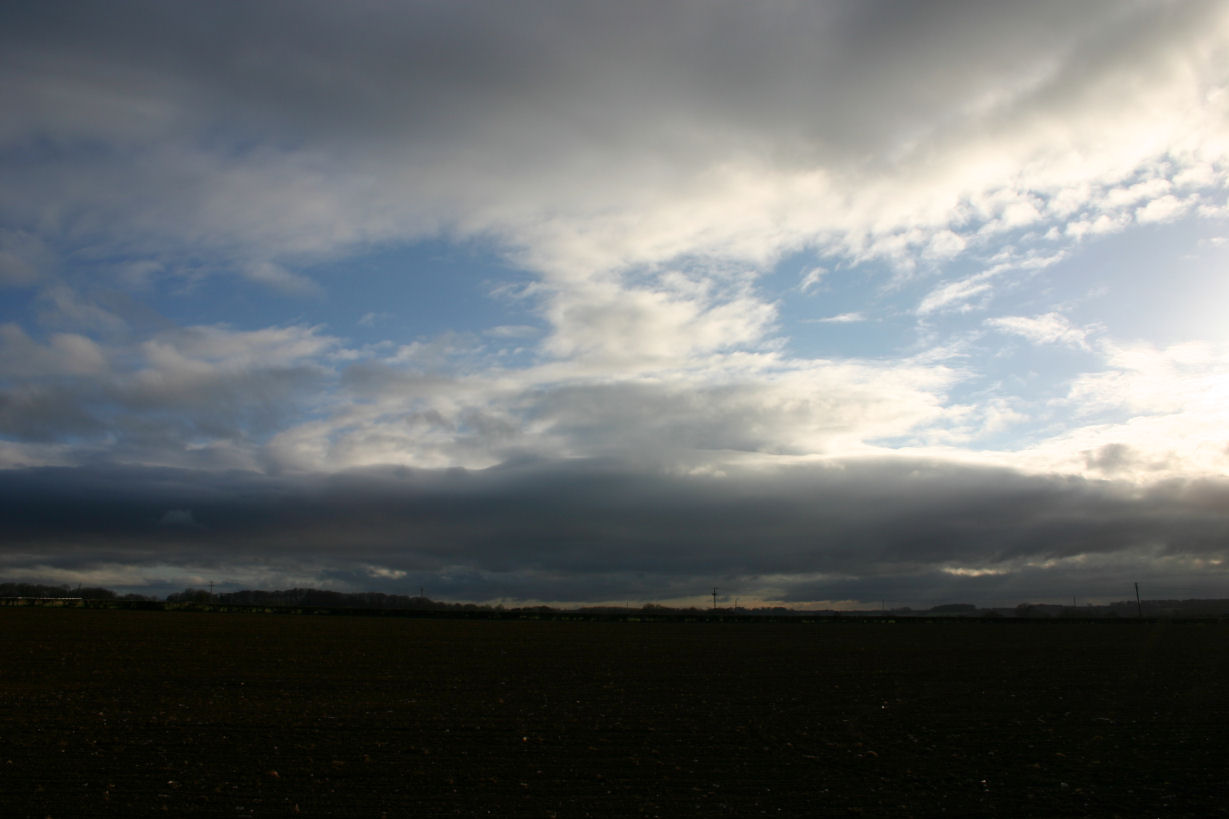
Stratus (St)
Stratus (St) (latin "To spread out") Very like Altostratus but normally at very low level. Normally greyer in colour and without any defining shape, like lifting fog.